June 10, 2024
This was one of those runs that was a bunch of leftovers between previous runs, doing sort of a cleanup. It was a small area that went from the Oasis Water Park on Aronson, south to the end of the 6th Ave. Bypass, east to Main and Airport, and west a ways out on Alkali Creek. Being that it was mostly along busy streets, it was noisy and a might dangerous. Here’s the route map:


I headed uphill on Aronson.


I ran over the BBWA canal and took a minor detour for another photo of it.


I headed back down Aronson.

Part of our bike trail system follows Alkali Creek from over by the Metra and goes through a series of tunnels as it works it was up to the rimrocks. Here’s the trail as it goes under Aronson.


I headed back up to Airport and ran to the intersection of Airport and Main, one of the busiest in the city.


It’s morning drive time and there’s lots of traffic. It’s busy and noisy. Here’s a sample.
I headed south on Main to get to the inspection with 6th, an intersection I’d been to on a previous run.


Then I headed back north on the bypass.


Billings drivers took out the guardrail on a pedestrian crossing.

If you look carefully, you can see that someone is camping back there.

The map showed this is a street but it looks like a driveway to Applebees but it does become a street.


I ran a few short streets.

Before leaving the area I went up to the Boothill Cemetery.


Look up Airport from the 6th Ave. Bypass.

Looking back south. No sidewalks around here.

I need to run Aronson to Alkali Creek which goes under Airport. At least there is a shoulder wide enough to run on.

Now I need to navigate Alkali Creek around that curve to get to where there’s a sidewalk.

Here’s one of the bike trail tunnels/

As I went around that corner, I met up with a deer that spooked and ran across the road and hopped the guardrail.


I headed along Alkali Creek and got on the sidewalk.

My map showed that I should do an out-and-back on Morningside but it turns out to be a private road. I’ll run private roads unless they tell me not to, like this one:

The backside on one of the houses on Morningside.

Looking back on Alkali.


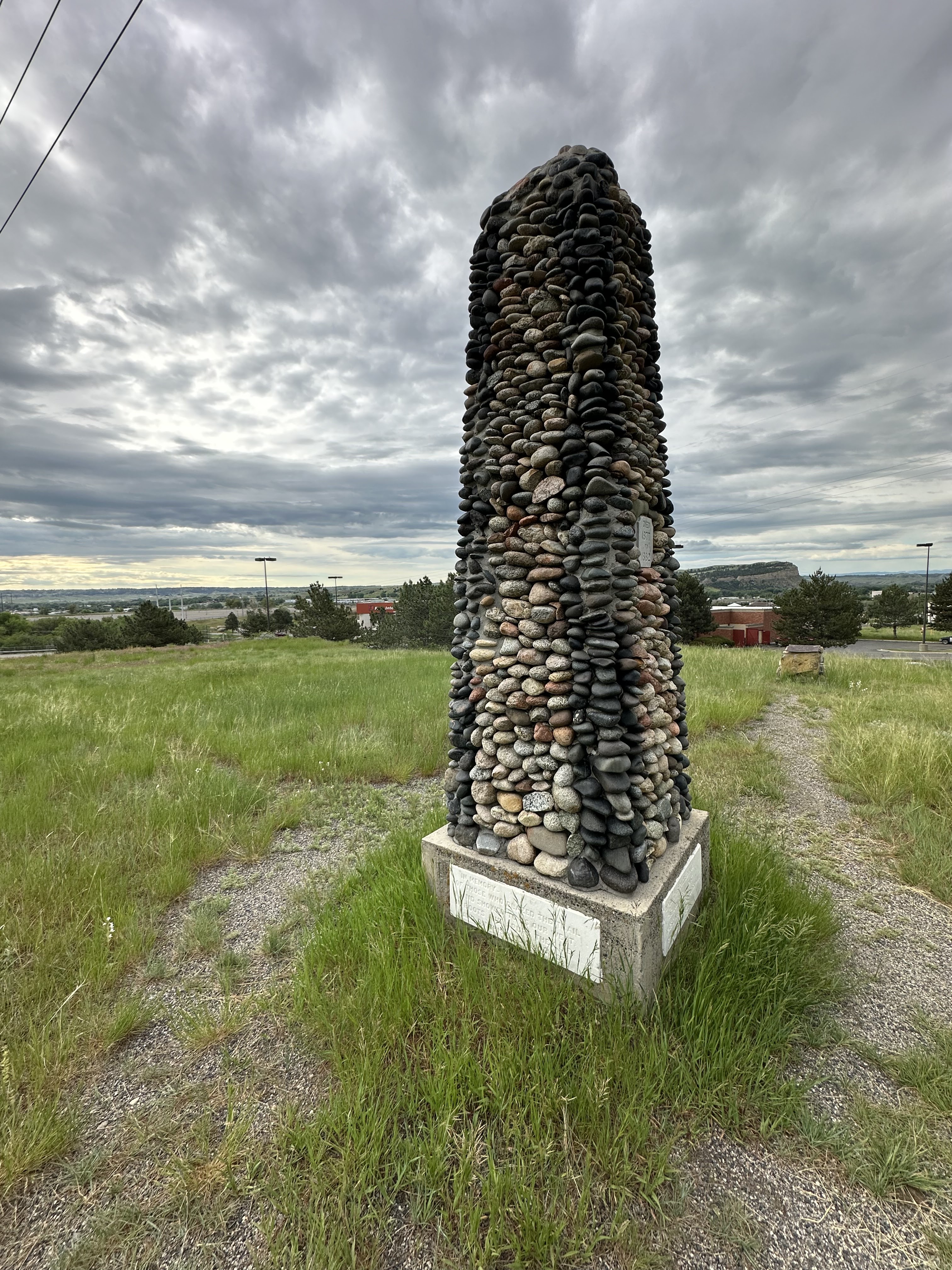
I worked my way back along Alkali Creek, headed to Aronson. The bike path spilts away and I ran the shoulder because I couldn’t remember if it ties into Aronson or simply goes under Airport through a tunnel. Along the way I saw this memorial.


I did the uphill jaunts back on Aronson. There is a rest area with a bench that provides a nice view looking south.


No comments:
Post a Comment