I hadn’t made a plan for today’s run until Shelley tested me late yesterday and said we should do a run or a bike ride as she had the day off. I’d already created a map for Rehberg Estates and had told her I’d save it for when she could join me as it had a big hill. So, that was the plan.
We decided to meet at the parking area of their mail boxes at 7:30. Just before I left she texted me about a traffic accident that had Zimmerman Trail closed, a route I’d normally take to get there, so I went the long way around via the airport. When we met she said they only had the downhill side closed and it appeared to be a single vehicle, motorcycle event.
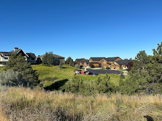
Rehberg Estates is out on the prairie just west of the airport and is, well, rather upscale. There is no through street so the traffic there is pretty much confined to the residents but the place isn't exactly “quiet.” There is a gun club on the adjacent ridge and they are right under the departing flight path for the airport.
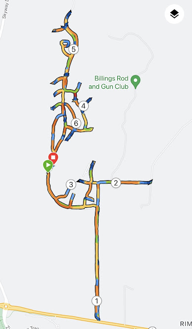
The map looked like this:
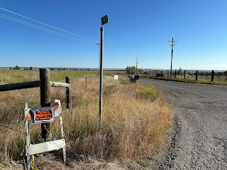
We turned around and headed back north. The hard painted sign advertise parking for last summer’s air show for $25, cash.
We then looped through our first residential area, Rifle Creek Trail, Winchester, and Browning. I see a pattern.
We headed back into the main part of the neighborhood which is bounded by state land and we saw an access point.
We went past their neighborhood park and looped around to to a dead end. Someone had painted “GO NAVY” on the street. I am sure that violated something but as a Navy brat I don’t disapprove.
On down to the bottom of the big hill and the end of the pavement.
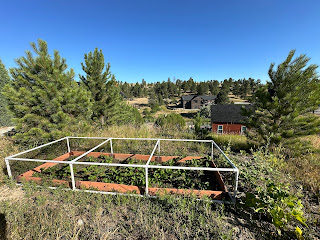
We saw a nice strawberry patch.
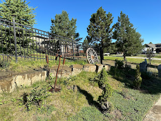
Some more nice yard art.













No comments:
Post a Comment